Skip to content

Log in to watch this video

Desoutter video shot in June 2018 | © Copyright OWLAPS

Description

...

"A video is worth 1.8 million words", so watch our trail video!

Access

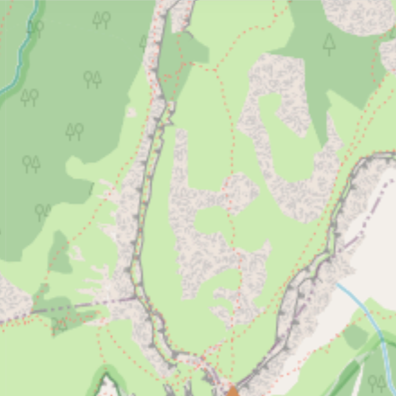
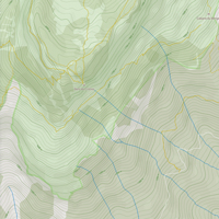
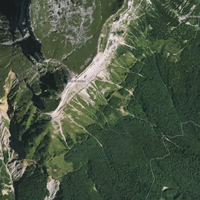
De la gare téléphérique Peyrou d'Amont, à 2416m d'altitude, prendre les premiers mètres de la piste Côte Fine, au chemin 4x4, prendre tout droit sur la Desoutter. La piste Côte Fine elle part à gauche.

There is no details available on how to access Desoutter.

This trail is part of La Grave – La Meije; you might find more info about how to access to Desoutter on the riding area page.
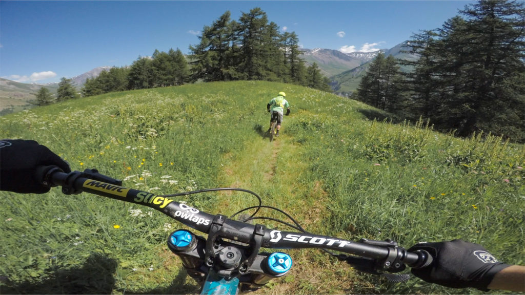
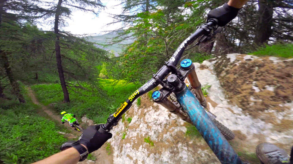
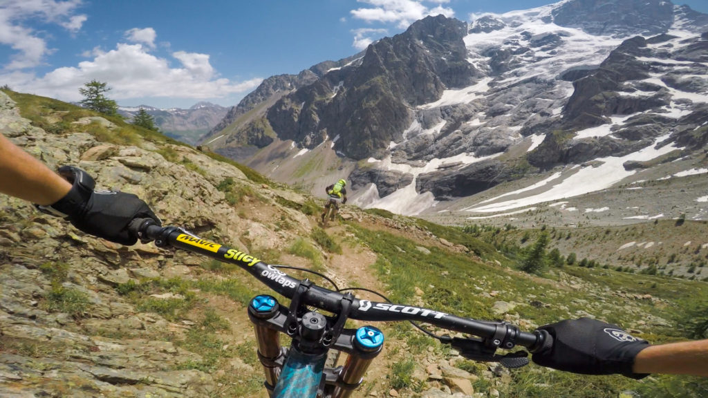
Difficulty:
Very difficult

Bike Type: Downhill / Freeride, Enduro / All-mountain

Direction: Downhill only
Usage: Biking primary

Desoutter GPX file

Only our Premium members can download the GPS files. Become Premium here.

Nearby trails

Avag One

La Grave – La Meije
...
View Trail

Cote Fine

La Grave – La Meije
The first part is technical, the second part is more flowy.
View Trail

Vallons

La Grave – La Meije
La première partie représente la partie la plus raide des pistes de la Grave.
View Trail
Map type

Default

Relief

Satellite

Legend
Access road
Easy
Intermediate
Difficult
Very difficult
Extremely difficult
owlaps riding area marker image
Riding areas

Bike parks or trail networks gathering multiple trails

trails listed

trails listed

Share your own Desoutter video and pictures with the #AsSeenOnOwlaps