Skip to content

This video is available to Premium subscribers only

PREMIUM ONLY VIDEO | Plan Bôdit video shot in September 2021 | © Copyright OWLAPS

Description

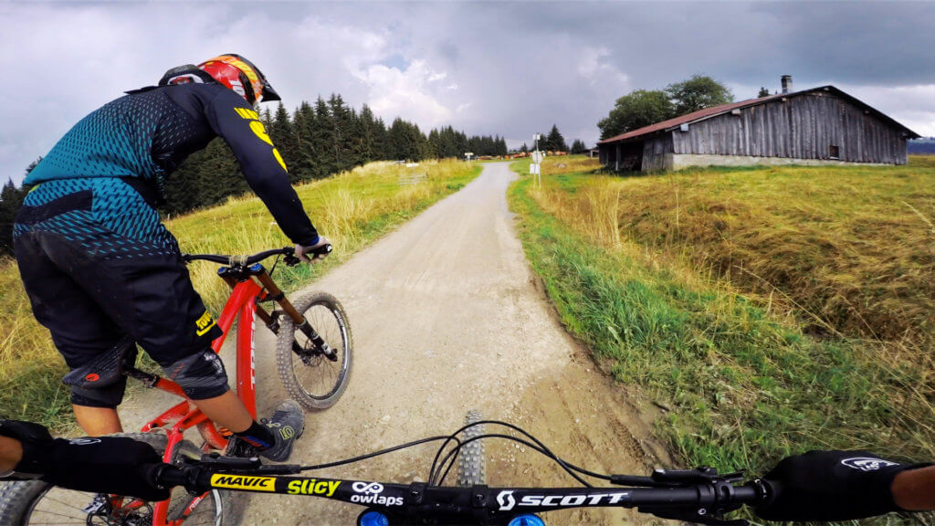
Ambiance magnifique en forêt sur ce chemin facile.

"A video is worth 1.8 million words", so watch our trail video!
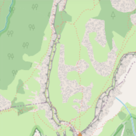
Access

Depuis les Gets, prendre la route qui monte au Belvédère, sommet du télécabine du Mont Chéry, le trail démarre dans la dernière épingle avant le télécabine au Plan Bôdit. La dernière partie de la route est très raide !

Montée 50min environ

Ou alors, depuis le télécabine du Mont Chéry, à droite en sortant, descendre un peu de route jusqu'à l'épingle.

There is no details available on how to access Plan Bôdit.

Difficulty:
Easy

Bike Type: Enduro / All-mountain

Direction: Both direction

Climb difficulty: Intermediate / Blue Square

Usage: Shared - pedestrians and other users

Plan Bôdit GPX file

Only our Premium members can download the GPS files. Become Premium here.

Nearby trails

Piste Des Biquettes

Les Gets bike park
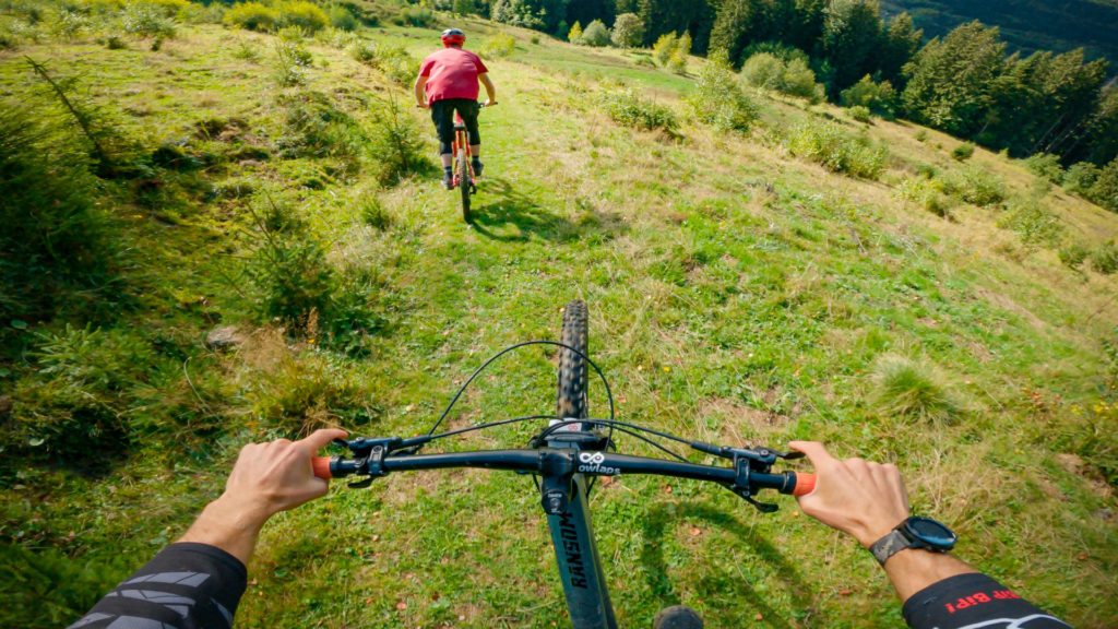
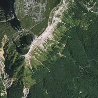
Beginner trail of Les Gets bike park: green trail. It is about 4,9 kilometers long but most of the track is a proper road... We'll say, 2/3 of the trail...
View Trail

Descente de Lassare


Chemin large de type piste forestière usée par la pluie, deux passages en ornières.
View Trail

Dans L'Gaz

Les Gets bike park
Dans l'Gaz trail at Les Gets bike park is an expert (double black diamond) line starting at the top of Mont Chéry chairlift. It has a good flow alternating jumps...
View Trail
Map type

Default

Relief

Satellite

Legend
Access road
Easy
Intermediate
Difficult
Very difficult
Extremely difficult
owlaps riding area marker image
Riding areas

Bike parks or trail networks gathering multiple trails

trails listed

trails listed

Share your own Plan Bôdit video and pictures with the #AsSeenOnOwlaps