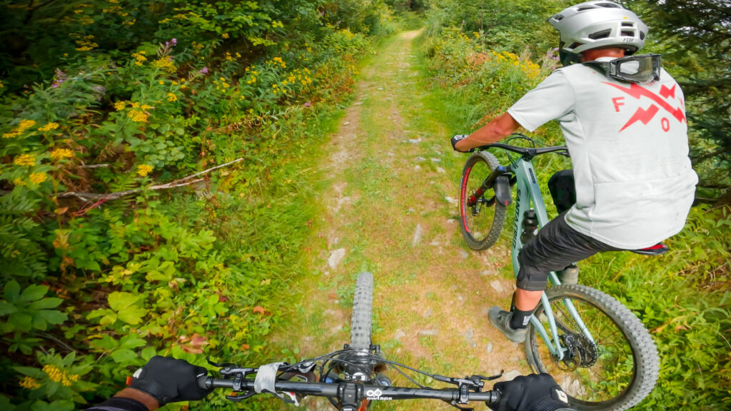
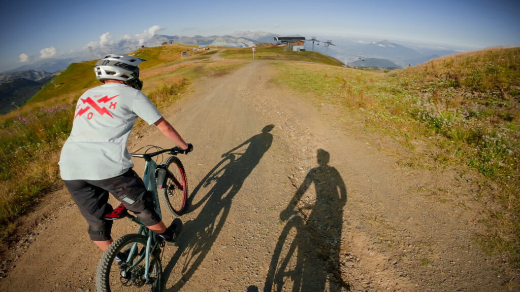
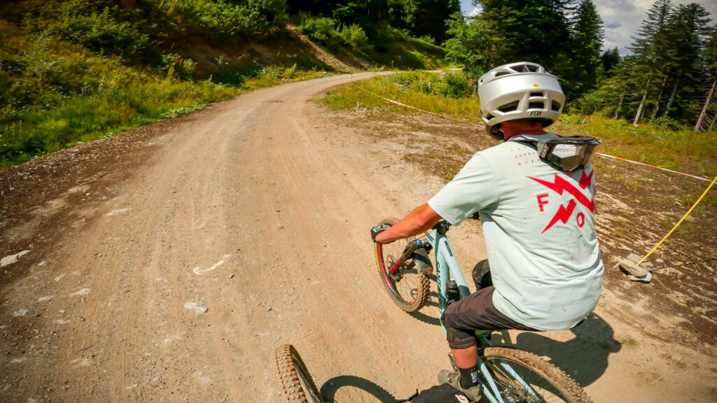
La Lanche bike trail
PREMIUM ONLY VIDEO | La Lanche video shot in August 2022 | © Copyright OWLAPS
Description
...
"A video is worth 1.8 million words", so watch our trail video!
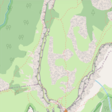
Access
There is no details available on how to access La Lanche.
Difficulty:
Direction:
Downhill primary
Usage:
Shared - pedestrians and other users
Nearby trails
La Corne
Beaucoup de montée sur un chemin bien trop raide et rocheux pour pédaler en musculaire! Liaison sur piste 4x4 pour accéder aux pistes qui redescendent sur Morillon.
View Trail
Perce-Neige
Perce-Neige est une liaison sur la piste 4x4 pour rejoindre le haut de Morillon depuis Chariande Express en haut de Samoëns.
View Trail
Liaison Morillon
Piste forestière qui vous permet de revenir à Morillon et Les Esserts. Pédalage simple.
View Trail
Map type
Default
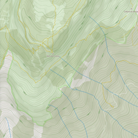
Relief
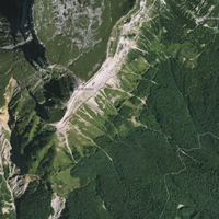
Satellite
Legend
Access road
Easy
Intermediate
Difficult
Very difficult
Extremely difficult
Riding areas
Bike parks or trail networks gathering multiple trails
trails listed
Share your own La Lanche video and pictures with the #AsSeenOnOwlaps