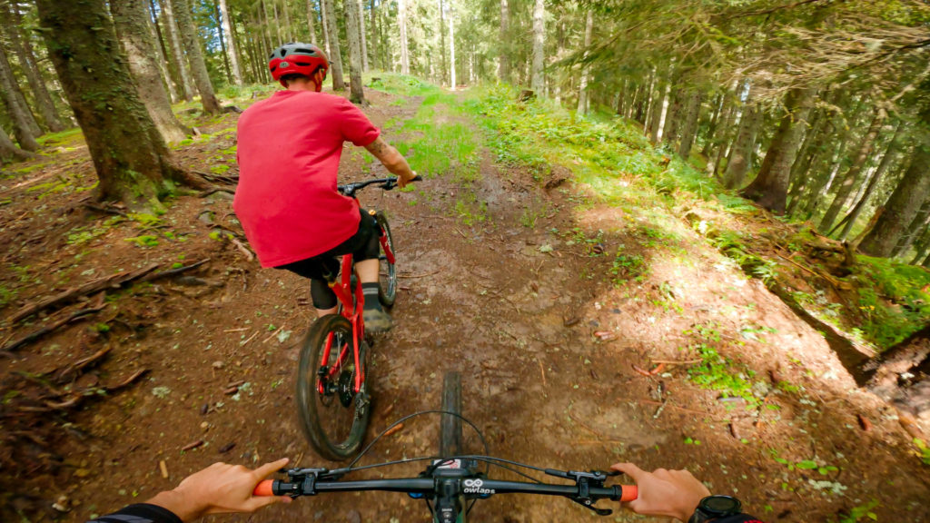
Descente de Lassare bike trail
PREMIUM ONLY VIDEO | Descente de Lassare video shot in September 2021 | © Copyright OWLAPS
Description
Chemin large de type piste forestière usée par la pluie, deux passages en ornières.
"A video is worth 1.8 million words", so watch our trail video!
Access
There is no details available on how to access Descente de Lassare.
Difficulty:
Direction:
Downhill only
Usage:
Shared - pedestrians and other users
Nearby trails
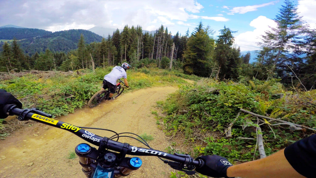

The Blue Family
The Blue Family is part of the Morzine bike park (Le Pléney). If you stay on the official line (which can be hard at some points), it is a blue...
View Trail
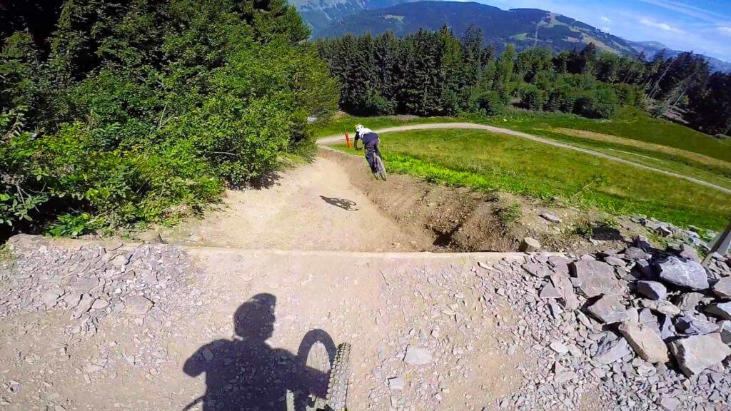

La Noire De Morzine
Morzine is well known for its tons of steep and crazy freerides that go down everywhere on the mountain! But also for its two sketchy tracks, plenty of roots! So coool!...
View Trail
Map type
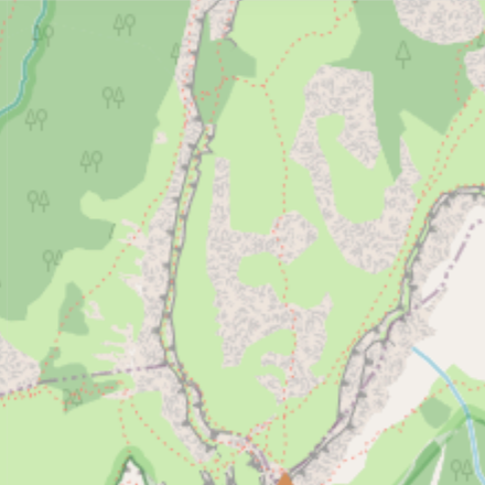

Default
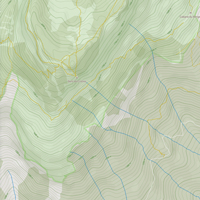

Relief
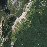

Satellite
Legend
Access road
Easy
Intermediate
Difficult
Very difficult
Extremely difficult
Riding areas
Bike parks or trail networks gathering multiple trails
trails listed
Share your own Descente de Lassare video and pictures with the #AsSeenOnOwlaps

