Tasse bike trail
Description
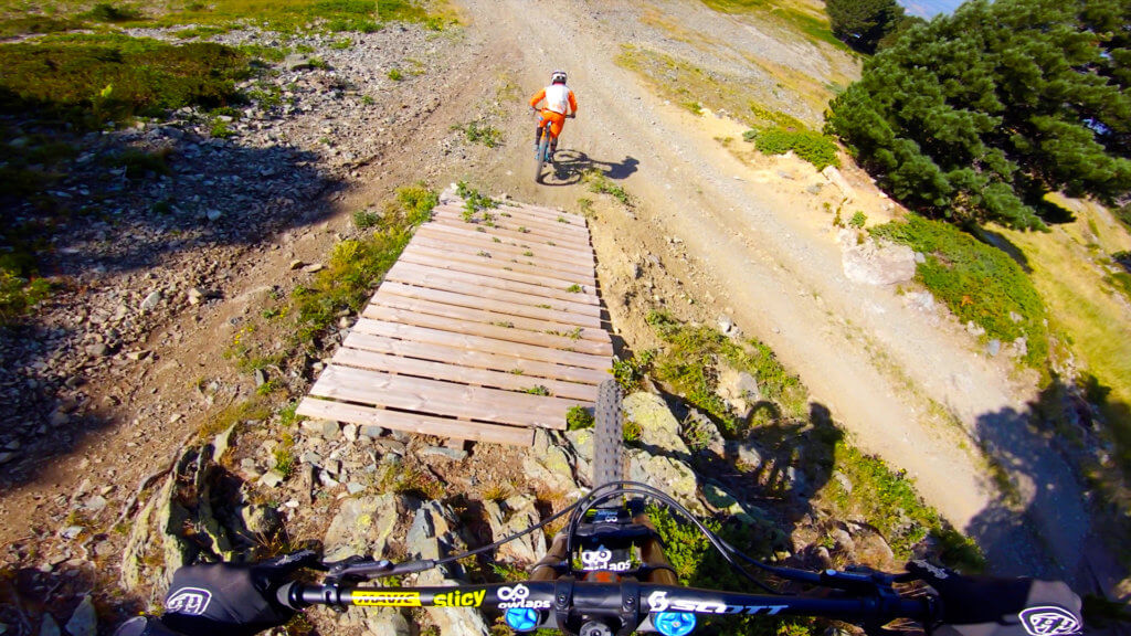
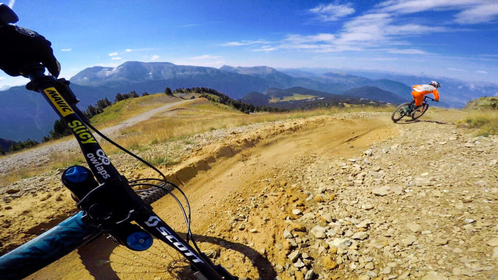
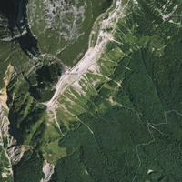
A trail for beginners at Chamrousse bike park. The material they used to build this trail is quite weird and slippery, watch out!
"A video is worth 1.8 million words", so watch our trail video!
Access
There is no details available on how to access Tasse.
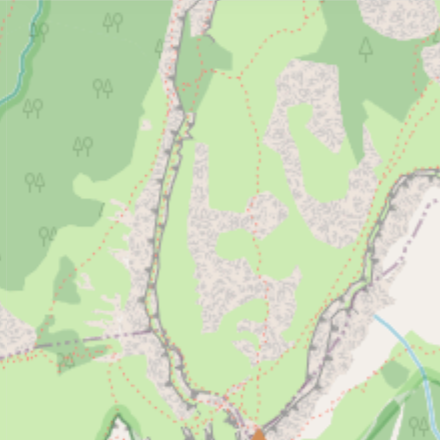
This trail is part of Chamrousse bike park; you might find more info about how to access to Tasse on the riding area page.
Difficulty:
Direction:
Downhill only
Usage:
Biking only
Nearby trails
Transhumance
Transhumance mountain biking trail is one of the two blue trails at Chamrousse bike park. This one is cool, but our favorite is the Panoramique trail!
View Trail
Blanchon
Beginner trail of Chamrousse bike park. An easy line which starts from the top of Chamrousse, cruising down the very bottom of the bike park. Watch Blanchon video on owlaps...
View Trail
Map type
Default
Relief
Satellite
Legend
Access road
Easy
Intermediate
Difficult
Very difficult
Extremely difficult
Riding areas
Bike parks or trail networks gathering multiple trails
trails listed
Share your own Tasse video and pictures with the #AsSeenOnOwlaps