Trail Connector bike trail
Description
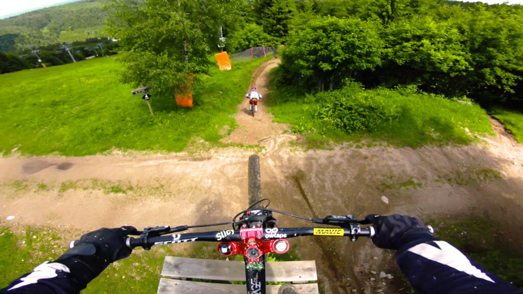
Every trail at Lac Blanc bikpark starts with this line.
"A video is worth 1.8 million words", so watch our trail video!
Access
There is no details available on how to access Trail Connector.
This trail is part of Lac Blanc bike park; you might find more info about how to access to Trail Connector on the riding area page.
Difficulty:
Direction:
Downhill only
Usage:
Biking only
Nearby trails
La Nuts
You better be a good rider to go down this trail! It's a proper DH track featuring the biggest road gap at Lac Blanc bike park!
View Trail
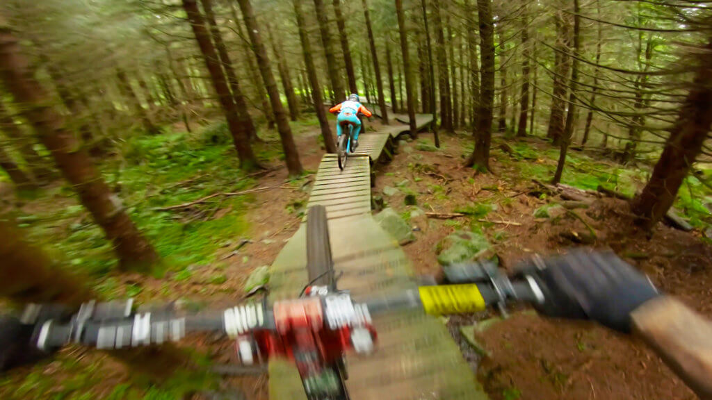
La Roots
La Roots line is the most Canadian of the Lac Blanc bike park trails! 😉 It brings you through plenty of wooden features: bridges, drops, corners... You'll also find different...
View Trail
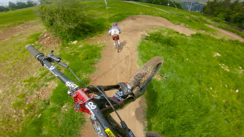
La Flow
La Flow trail goes from the top to the bottom of the Lac Blanc bike park with an awesome flow! Watch the La Flow video on owlaps to get ready...
View Trail
Map type
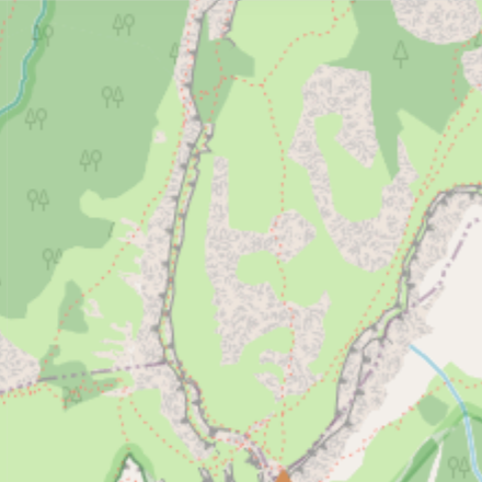
Default
Relief
Satellite
Legend
Access road
Easy
Intermediate
Difficult
Very difficult
Extremely difficult
Riding areas
Bike parks or trail networks gathering multiple trails
trails listed
Share your own Trail Connector video and pictures with the #AsSeenOnOwlaps