Skip to content

Log in to watch this video

Haute Tension video shot in July 2022 | © Copyright OWLAPS

Description

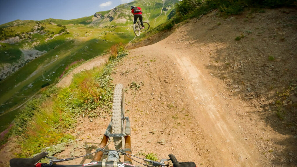
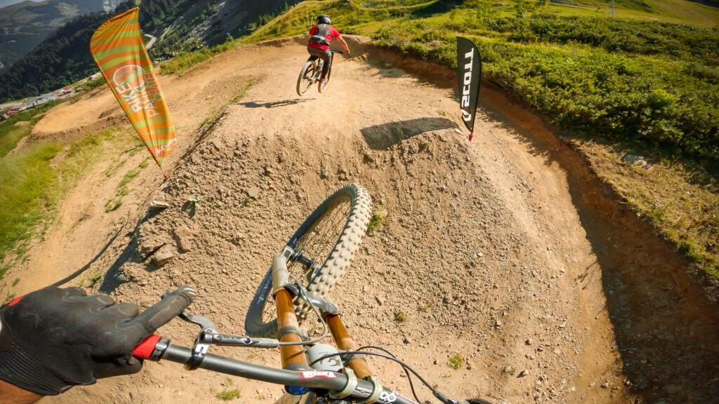
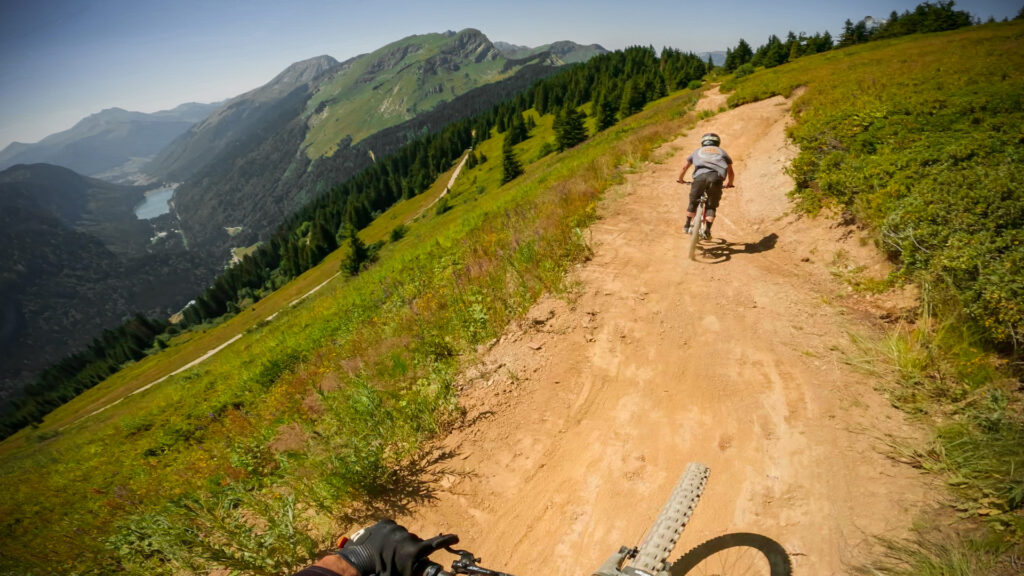
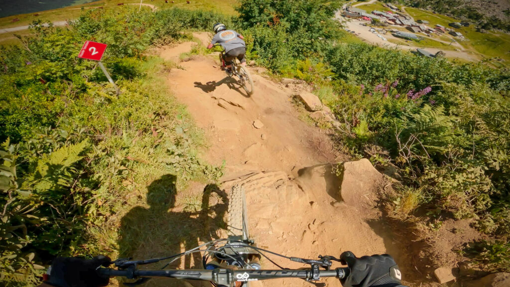
Haute Tension is a black trail located in the top part of Châtel bike park, which can be divided into two parts: before the 4x4 track and after.

The first part of the trail starts with a series of berms before you enter into some steep, loose rock lines, littered with big boulders. It's important to manage your speed well here and find a good line to keep the flow. The second part of the trail is mostly berms, offering good flow and rhythm. Only at the very end of the trail do things start turning steep and loose again.

"A video is worth 1.8 million words", so watch our trail video!

Access

High Tension starts at the top of the Châtel bike park. You have to take the two chairlifts to get there, Pierre-Longue and Rochassons. Once at the top, the beginning of the trail is on your right as you get off the lift. You just have to go a few meters down Panoramic, a green trail, to find the departure which dives off to the right.

There is no details available on how to access Haute Tension.

This trail is part of Châtel bike park; you might find more info about how to access to Haute Tension on the riding area page.

Difficulty:
Difficult

Bike Type: Downhill / Freeride

Direction: Downhill only
Usage: Biking only

Haute Tension GPX file

Only our Premium members can download the GPS files. Become Premium here.

Nearby trails

Vink Line (upper)

Châtel bike park
Châtel's Vink Line is divided into three parts, one black, one blue, and one green. Here we are talking about the part highest up in the bike park, which is...
View Trail

Vorachatak

Châtel bike park
Vorachatack is a black trail located at the top of the Châtel bike park. The trail is not very steep and there are plenty of burms with good flow between...
View Trail

Panoramic

Châtel bike park
Panoramic, is one of the few green trails in Châtel bike park. Made for beginners, the trail is easy, wide and without surprises. The trail starts from the top of...
View Trail
Map type

Default

Relief

Satellite

Legend
Access road
Easy
Intermediate
Difficult
Very difficult
Extremely difficult
owlaps riding area marker image
Riding areas

Bike parks or trail networks gathering multiple trails

trails listed

trails listed

Share your own Haute Tension video and pictures with the #AsSeenOnOwlaps