Skip to content

This page is sponsored by:

Log in to watch this video

Vink Line (upper) video shot in July 2022 | © Copyright OWLAPS

Description

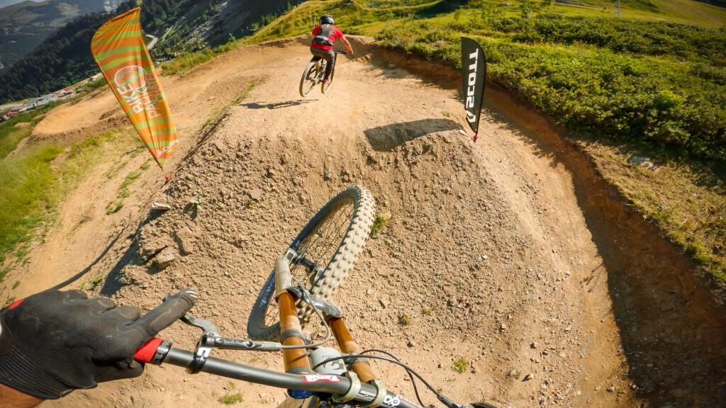
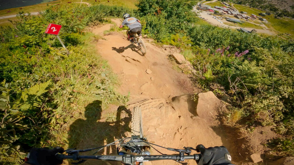
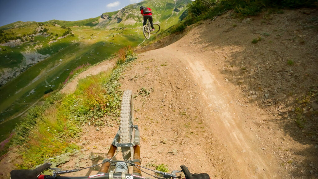
Châtel's Vink Line is divided into three parts, one black, one blue, and one green. Here we are talking about the part highest up in the bike park, which is surely the most known part, and also the most difficult.

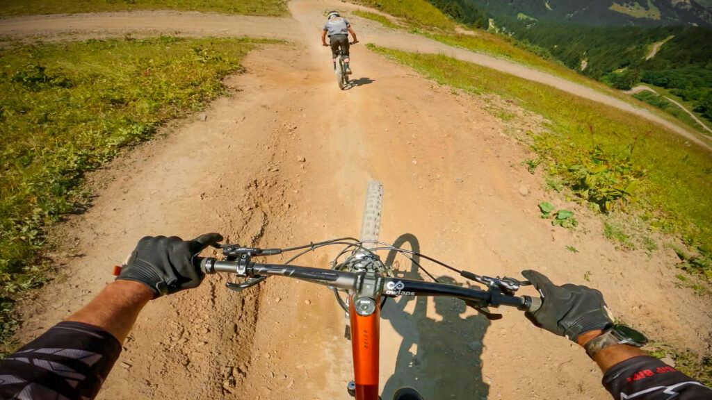
Built by the world-famous Nico Vink himself, the track is just like him: monstrous! The trial links huge jumps and big berms and is super engaging, reserved for only the best riders. Besides having a good level of technique you also need to be physically strong to handle the Gs that this track with throw at you! In short, the motto of this track is clear: go big or go home! But we'll let you build your own picture of the trail by watching the preview video.

"A video is worth 1.8 million words", so watch our trail video!

Access

The upper part of Vink Line sits at the top of Châtel bike park. You get there by taking the Pierre-Longue and Les Rochassons chairlifts, and heading to your left as you get off the lift. The trail starts just next to Vorachatack.

There is no details available on how to access Vink Line (upper).

This trail is part of Châtel bike park; you might find more info about how to access to Vink Line (upper) on the riding area page.

Difficulty:
Difficult

Bike Type: Downhill / Freeride

Direction: Downhill only
Usage: Biking only

Vink Line (upper) GPX file

Only our Premium members can download the GPS files. Become Premium here.

Nearby trails

Vorachatak

Châtel bike park
Vorachatack is a black trail located at the top of the Châtel bike park. The trail is not very steep and there are plenty of burms with good flow between...
View Trail

Haute Tension

Châtel bike park
Haute Tension is a black trail located in the top part of Châtel bike park, which can be divided into two parts: before the 4x4 track and after. The first part...
View Trail

Vink Line (middle)

Châtel bike park
Vink Line is divided into three parts, one black, one blue, and one green. In this description, we'll talk about the middle part, the blue part. We would probably say this...
View Trail
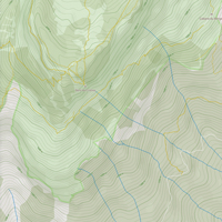
Map type

Default

Relief

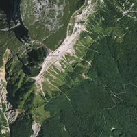
Satellite

Legend
Access road
Easy
Intermediate
Difficult
Very difficult
Extremely difficult
owlaps riding area marker image
Riding areas

Bike parks or trail networks gathering multiple trails

trails listed

trails listed

Share your own Vink Line (upper) video and pictures with the #AsSeenOnOwlaps